Flood Warning Update April 14, 2025
Message # 2025-11
Issued: 2:30 pm., Monday, April 14, 2025
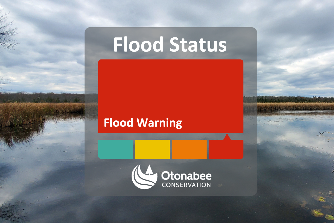
Flood Warning Update - Issued to residents throughout the jurisdiction of Otonabee Conservation.
The Flood Warning will remain in effect for the Trent-Severn Waterway, within the jurisdiction of Otonabee Conservation, as flooding of low-lying, flood-prone areas is occurring and expected to continue through next week. Warm temperatures are in the forecast this week, as well as the potential for 20 to 30mm of rainfall from Friday to Sunday.
Current water levels and flows are creating a high risk to public safety and property damages in flood-prone areas.
However, the Flood Risk for local watercourses (Ouse River, Indian River and tributaries to the Otonabee River) have been downgraded to a Flood Watch as water levels and flows have decreased in those areas.
Residents are advised to monitor conditions and take appropriate action to protect themselves and their property against imminent or occurring flooding along all watercourses including the Kawartha Lakes within the jurisdiction of Otonabee Conservation, Otonabee River, and Rice Lake. Water levels can be monitored at Trent-Severn Waterway, Water Survey of Canada and Otonabee Conservation websites.
For more information about Flood Forecasting and Warning visit the Water and Levels and Flooding page on our website. To receive flood messages directly, subscribe on our website.
This FLOOD WARNING message will expire Thursday, April 24, 2025, unless up-dated earlier.
Neil MacFarlane | Flood Forecasting & Warning Duty Officer | 705-745-5791 x 231 (April 14 to 16)
Gord Earle | Flood Forecasting & Warning Duty Officer | 705-745-5791 x 214 (April 16 to 24)
250 Milroy Drive, Peterborough, ON K9H 7M9 | orcafloodduty@otonabeeconservation.com
Note: A Flood Warning is defined as a notice declaring that flooding is imminent or occurring. The Flood Warning is issued based upon information received by the Conservation Authority's weather and water level monitoring systems and other information sources, and is intended to provide notice to municipalities, water managers and other flood emergency management services and residents that action is required on their part.
Contact Us
250 Milroy Drive
Peterborough, ON K9H 7M9
Voice: 705-745-5791
Fax: 705-745-7488
Email: otonabeeca@otonabeeconservation.com
Subscribe to our News
Stay up to date on Otonabee Conservation's activities, events, programs and operations by subscribing to our News.