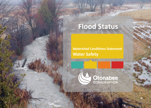
THIS FLOOD MESSAGE HAS EXPIRED | Watershed Conditions Statement - Water Safety | April 26, 2024
 |
Message #2024-07
Issued: 1:00 p.m., Friday, April 26, 2024
WATERSHED CONDITIONS STATEMENT – WATER SAFETY issued for all area waterbodies and watercourses, including local rivers, streams and creeks and the Trent-Severn Waterway.
ISSUED TO: Municipalities of Selwyn, Douro-Dummer, Asphodel-Norwood, Otonabee-South Monaghan, Cavan Monaghan, Trent Hills, City of Peterborough, and City of Kawartha Lakes, as well as Otonabee Conservation’s other partners in flood emergency management.
The Flood Watch issued April 15th is downgraded to a WATERSHED CONDITIONS STATEMENT – WATER SAFETY. This Water Safety message is issued as a result of widespread rainfall events causing higher-than-normal water flows and levels that may be dangerous, but flooding is not expected.
Weather
Over the past several weeks, regional-scale low-pressure storm systems and their frontal passages have brought frequent widespread rainfall to the geographical jurisdiction of Otonabee Conservation and areas north of our watershed region (i.e., Haliburton/Reservoir Lakes Region) that are hydrologically connected to the Kawartha Lakes, Otonabee River, Rice Lake and Trent River.
Two low-pressure systems are expected to enter our region along with the Haliburton/Reservoir Lakes Region bringing more precipitation starting Saturday April 27th and continuing into Sunday and Tuesday April 30th and continuing into Wednesday. The 5-day forecast indicates the potential for 25 to 35 mm of rain, and possibly higher local amounts due to thunderstorms.
Watershed Conditions
Recent past rainfall has resulted in strong flows and high-water levels in surface water bodies and watercourses including area lakes, rivers, streams, creeks wetlands, and ditches. These conditions are expected to continue over the next week as frequent widespread rainfall continues to pass through our region and the hydrologically connected uplands to the north. However, no flooding is expected.
Area residents and visitors are strongly advised that slippery stream banks and deep, turbulent, fast, and cold surface waters create dangerous conditions around all water bodies and watercourses. Please exercise caution around all surface water and alert any children in your care of the hazards.
Area water information can be monitored on-line at:
- Trent-Severn Waterway’s Water Management InfoNet
- Water Survey of Canada Real-Time Hydrometric Data
- Otonabee Conservation Precipitation and Water Level Data
This WATERSHED CONDITIONS STATEMENT-WATER SAFETY is effective immediately and will remain in effect until Monday, May 06, 2024, unless updated earlier.
For more information:
Neil MacFarlane| Flood Forecasting & Warning Duty Officer
705-745-5791 x 23 orcafloodduty@otonabeeconservation.com
Flood Watch Hotline 705-745-5791 x 228
Contact Us
250 Milroy Drive
Peterborough, ON K9H 7M9
Voice: 705-745-5791
Fax: 705-745-7488
Email: otonabeeca@otonabeeconservation.com
Subscribe to our News
Stay up to date on Otonabee Conservation's activities, events, programs and operations by subscribing to our News.
