Residents and business are always encouraged to conserve water. Continued wise use of water has environmental and economic benefits.
Otonabee Conservation Service Disruption
Otonabee Conservation services will continue to be disrupted on April 3, 2025. Phone lines and internet are down at the Otonabee Conservation office due to the weekend ice storm.
Updates will be posted on our website and on our social media pages.
All Otonabee Conservation areas will be closed until further notice. To ensure public safety, access is not permitted.
Camping Group Bookings, which were supposed to open today, have been postponed until April 7, 2025.
Thank you for your understanding.
Drought occurs slowly as a result of lack of rain, high temperatures and increased water use.
The Ontario Low Water Response Program helps prepare the province and municipalities to respond if a drought occurs. Local municipalities, water management agencies, tourism, recreation, and agriculture sectors, provincial and federal agencies, First Nations, and Otonabee Conservation work together as the local Water Response Team.
Otonabee Conservation uses precipitation and stream flow information to identify low water conditions. The different levels of Low Water Conditions include:
Residents and business are always encouraged to conserve water. Continued wise use of water has environmental and economic benefits.
 |
Early indication of a potential drought.
Water users encouraged to reduce water consumption by 10%.
 |
Increased likelihood of drought. Potential for minor water supply issues.
Water users encouraged to reduce their water consumption by 20%.
 |
High likelihood of drought conditions but does not imply an emergency.
Increased potential that water supply does not meet water demand.
Water users encouraged to reduce their water consumption by 30%.
 |
Information is available from the Ministry of Agriculture, Food, and Rural Affairs about the impacts of low water on agricultural activities.
Information from the province is available about water shortages for private wells.
How to reduce the amount of water you use
Replace your toilet handle if it sticks with the water running
Check to make sure your toilet flapper isn’t leaking. Add a few drops of food colouring to the toilet tank but don’t flush. If the colour appears in the toilet bowl, fix the leaking flapper right away.
Install a low-flow or trickle shower head.
Don’t flush waste down the toilet if you can recycle, compost, or put it in the waste basket.
Turn off the tap while brushing your teeth, shaving, or washing your face.
Keep a pitcher of water in the fridge to keep it cold instead of running the water.
Install efficient faucets or aerators to reduce water use.
Use a bowl or the sink instead of running water when washing hands, dishes, fruits, or vegetables. You can then use the water for houseplants or in your garden.
Wash your vehicle at a car wash that recycles the water.
Sweep driveways and walkways rather than washing with water.
Cover swimming pools when not in use to reduce evaporation.
Install rain barrels to collect water for lawns and gardens.
Use native plants that need less water.
Avoid watering during the hottest part of the day and use mulch to maintain moisture
Reduce water use by changing a few habits.
Repair leaks promptly.
Retrofit fixtures to more efficient options.
Contact Us
250 Milroy Drive
Peterborough, ON K9H 7M9
Voice: 705-745-5791
Fax: 705-745-7488
Email: otonabeeca@otonabeeconservation.com
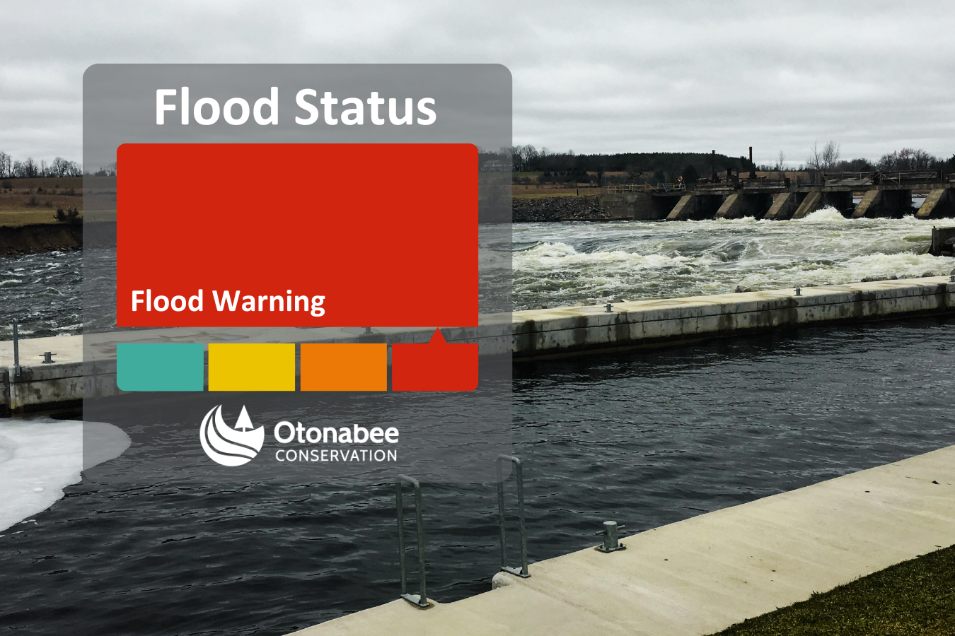
Flooding in low lying and flood-prone areas continues along the Trent Severn Waterway and local watercourses, and our region is forecasted to receive heavy precipitation over the next four days.
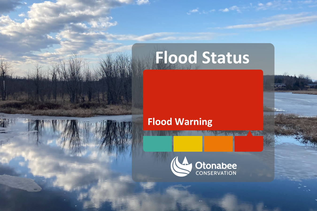
Significant rain is expected to start Friday and continue through the weekend into Monday. This will cause flooding in low lying, flood-prone areas along the Trent-Severn Waterway and local watercourses. Flooding has started in some areas due to the recent snow melt and precipitation. The forecasted 40 to 60 mm of rain expected this weekend will further increase water levels and flow.
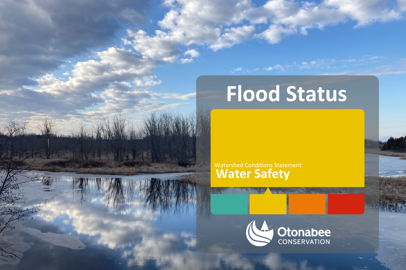
Otonabee Conservation has extended the Water Safety Statement, previously issued on March 13th, until March 27th, 2025.
Otonabee Conservation has issued a Water Safety Statement in anticipation of the upcoming warm temperatures and expected rainfall this weekend. Residents should maintain safety precautions around all watercourses. However, flooding is not expected.
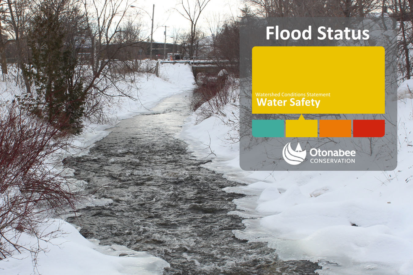
This Watershed Conditions Statement is being issued by Otonabee Conservation to remind residents and visitors of the potential dangers that exist around bodies of water. Slippery, unstable streambanks and fast flowing, cold water temperatures create extremely hazardous conditions close to waterbodies and watercourses. As well, all ice cover should be considered weak and extremely dangerous.
Currently there are currently no flooding concerns.
Subscribe to our News
Stay up to date on Otonabee Conservation's activities, events, programs and operations by subscribing to our News.
This website uses cookies to enhance usability and provide you with a more personal experience. By using this website, you agree to our use of cookies as explained in our Privacy Policy.