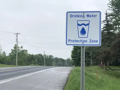
A wellhead is the part of the well that is above ground. A WHPA is the area around a wellhead that contributes to a municipal drinking water source.
Water can carry contaminants as it infiltrates the ground and flows down to an aquifer. Aquifers are areas where groundwater water fills cracks in bedrock or spaces between grains of sand, gravel, or dirt. Human activity in a WHPA can impact the quality and/or quantity of groundwater in an aquifer.
Scientists study how and where water moves through the ground. They also use models to calculate vulnerability scores in WHPAs. These scores represent the risk of an activity posing a threat to a drinking water source. Factors include the type of aquifer, soil type, topography (the rise and fall of the land) and pumping rates. WHPAs closest to a well typically have a higher vulnerability score. This is because there is less time for contaminants to break down before they reach the well.
Source protection plan policies manage drinking water threats in WHPAs.
Types of WHPAs
- WHPA-A: 100-metre radius around the wellhead
- WHPA-B: 2-year travel time for groundwater (and potential contaminants) to reach the well
- WHPA-C: 5-year travel time for groundwater (and potential contaminants) to reach the well
- WHPA-D: 25-year travel time for groundwater (and potential contaminants) to reach the well
- WHPA-E: 2-hour travel time from surface to aquifer.


